
Moving critical supplies and capturing the data that keeps energy, infrastructure and industry running.
One autonomous fleet does two jobs. It flies spare parts and tools out to remote sites, and it inspects and maps the assets your teams are responsible for, from solar farms and dams to quarries and whole industrial sites.
- 40 km
- [ Operating radius ]
- 5 kg
- [ Payload ]
- 10 min
- [ Average delivery ]
Industries
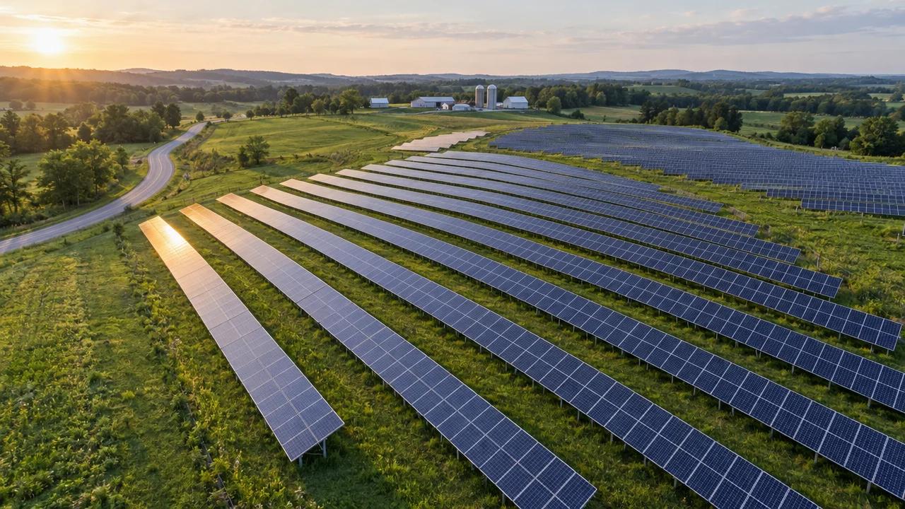
- Solar farms
- Power lines
- Pipelines
- Substations
Solar farms, power lines and pipelines stretch across thousands of acres that ground crews can't walk every week.
Dronavid flies scheduled visual and thermal patrols, maps every hotspot and defect to a coordinate, and flies spare parts out to remote sites.
- Sensors
- RGB + Thermal
- Range (km)
- 40
- Payload (kg)
- 5
- Output
- Hotspot map
- Schedule
- Routine / on-call
- Data
- GIS-ready
Capabilities

10 min
Average delivery
Point-to-point flights for spare parts, tools, sensors and documents, up to 5 kg, inside a 40 km radius. Live tracking and chain-of-custody records on every run.
Process
Scope
We survey your sites and routes, agree what needs flying and how often, and handle airspace approvals.
Fly
Autonomous missions run on a schedule or on call, monitored live by our operations team from launch to landing.
Deliver
Payloads land at the agreed point within metres. Inspection and survey data uploads as soon as the aircraft is back.
Report
Processed results, defect logs and delivery records arrive in your dashboard and in the formats your team already uses.
Safety
Every flight is planned, approved and watched. If anything looks wrong, the aircraft comes down safely on its own.
- Redundant navigation, power and communications on every aircraft
- Approved flight corridors and live monitoring of every mission
- Automatic return-to-base or controlled landing on any fault
Questions
What energy, infrastructure, industrial and geospatial teams usually ask us first.